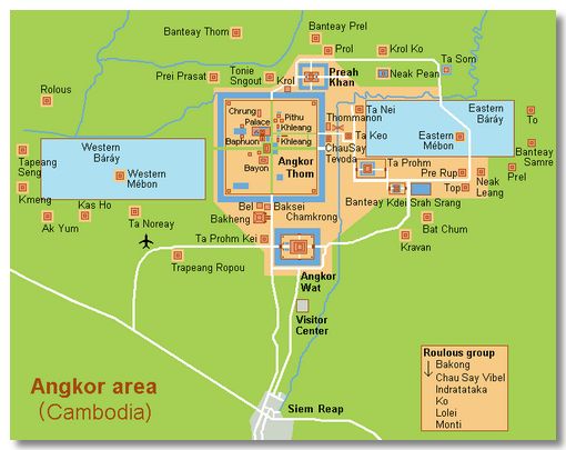
Angkor was the capital city of the Khmer empire and flourished from approximately the 9th to 15th centuries. At its height Angkor had been the largest pre-industrial city in the world, with an elaborate infrastructure system connecting an urban sprawl of about 1 million people and at least 1,000 square kilometres (390 sq mi) to the well-known temples complex at its core. To put this in context, the population of London in the 12th century was about 15,000.
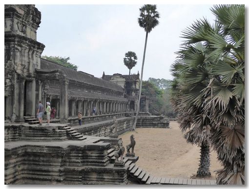
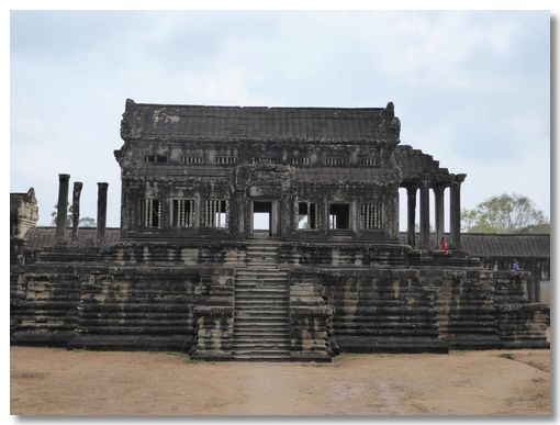
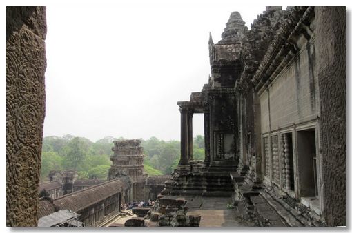
The scale of the Angkor complex is difficult to appreciate even when you are in the middle of any temple, as you cannot see any of the others. The outer walls of the Angkor Wat Temple for instance are each over half a mile long. There are about 1,000 religious structures on the site so we had to be driven between each of them.
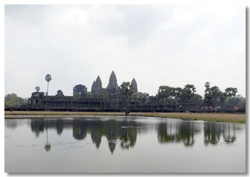
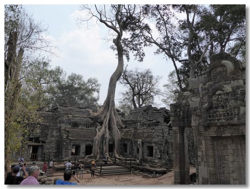
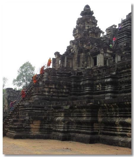
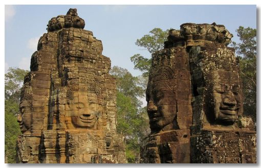
The most popular temples are Angkor Wat itself, Ta Prohm (which had been left a ruin early on, hence the trees growing through the buildings), Bayon (with its multitude of serene and smiling stone faces on its many towers) and the multi-tiered Baphuon.
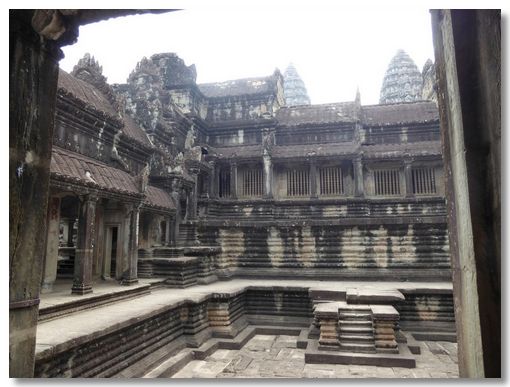
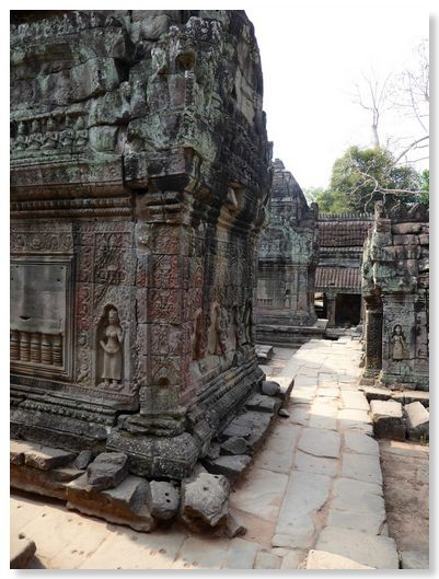
We took an enormous number of photos over the time we were here and only a small selection are on these pages. I feel that you could point your camera in any random direction & still end up with stunning photos as the architecture & decorations are so marvellous.
I have added a couple of extra pages of photographs of Angkor Wat as well as the other temples we saw.